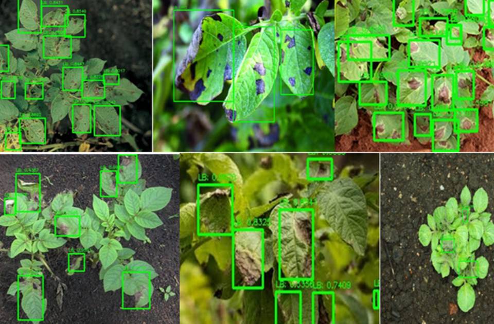
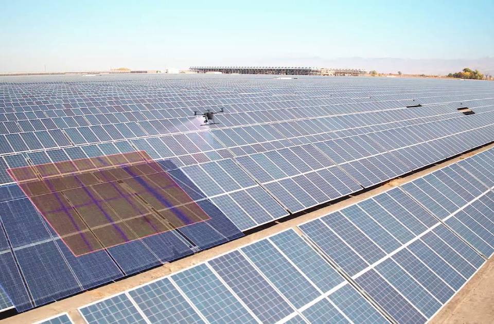
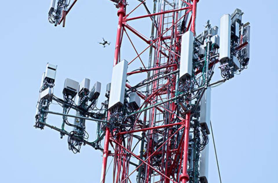
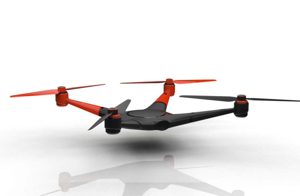
Making your vision become a reality Innovative Aerial Solutions to Optimize Your Operations and Capture Accurate and Detailed Data OUR SERVICES Quality. Safety. Innovation. Every time. Our Geospatial Solutions Harnessing the Power of Drones, Mapping, Surveying, and Analysis for Informed Decision-Making Drone Services High-quality aerial footage and imagery captured by professionals. Geospatial Analysis Meaningful insights from spatial data for informed decision-making. Aerial Mapping Accurate and detailed maps for precise analysis and planning. Surveying Solutions Comprehensive surveying support for construction and land management. EXPERIENCE Our Works Exceptional drone and mapping services, enabling informed decisions. Eric TCHAMOHappy client GITECH Why Choose Us Expertise Our team excels in drone technology and geospatial analysis, ensuring top-quality results. Read More Precision We provide accurate mapping and surveying for informed decision-making. Read More Innovation We embrace cutting-edge tools, delivering tailored solutions. Read More Satisfaction Expect exceptional service and support throughout. Read More Perfection In Every Step We Take Exceeding Expectations through Meticulous Execution Years of Experience 0 + Awards Winning 0 Happy Customers 0 Projects Completed 0 Contact Us We are ready to help you with your project. Let's get started Looking to turn your aerial vision into reality? Learn More