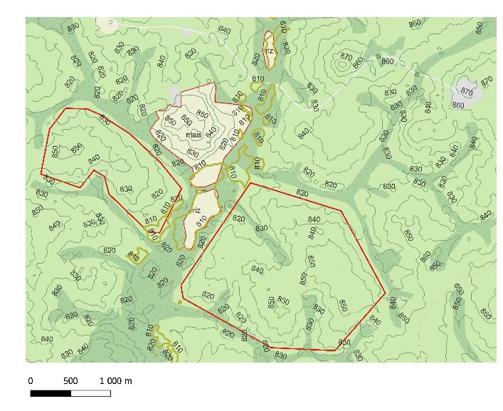
besides crop monitoring using multispectral datas for vegetation and water indexes when talking about data driven agriculture , farm expansion is also a problem that need keen attention .
few weeks ago our team took the challenge to expand a rice 🌾 farm located in Cameroon from 30hectares to 200hectares on a 75K hectares site made available for farming .
to make this mission successful we have collected satellite datas for observation(” elevation profiles , hydrography of the zone , pluviometry , accès ways and more ) . With these datas we came out with a prediction algorithm that will cercle with yellow lines sites suitable for rice 🌾 without affecting surounding vegetation.
with this yellow polygons we genareted KMZ files that we used on site for further observations using Drones .
after these exercises we successfully found more than 1000 hectares that could be exploited with less investment.