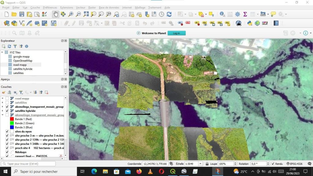
To compare accuracy of drone datas Vs satellite datas, last week we carried out some studies in a village located in UTM 33N Cameroon collecting geo_referenced images with a professional drone .
after orthophotos generation using photogrametry technics we did superpositions with satellites images using GIS tools .
results are found on these images.
#GIS
#Remote_sensing
#drone
#photogrametry